One of the essential factors in aviation weather is flight visibility. Visibility is the only legal weather requirement that must be met when landing after an instrument approach. If the visibility isn’t at least the minimum published on the approach plate, the pilot can’t land.
Table of Contents
What Does RVR Stand For?
RVR is one way of measuring visibility. It stands for runway visual range, and it is measured along the length of a runway. RVR is accurate and advanced, so it is usually installed on runways at major airports where instrument landing systems (ILS) are installed.
What is the Difference Between RVR and Visibility?
Most of the time, ATIS and AWOS transmit the visibility in statute miles. This number represents how far an observer in the tower cab can see horizontally. It’s often very different from the flight visibility that pilots see and experience during takeoff and landing.
In the cabs of most towers, they have a reference card that shows known landmarks and their distance from the tower. Based on what landmarks they can see, the controllers can then report the visibility from the tower.
Automated weather stations, like AWOS and ASOS, do the same thing. Among their other instruments is a scatterometer that measures the amount of stuff suspended in the atmosphere. This is easily translated into a horizontal visibility number.
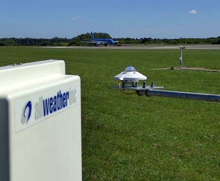
The problem with both of these methods is that it is not the visibility as would be seen by the pilot. The tower cab or AWOS station is often not near the runway threshold. At large airports with multiple runways, the instruments might be miles away.
RVR provides a runway specific visibility number. Instruments are mounted alongside the length of the runway, and the visibility is reported in terms of how many feet an observer could see down the runway if they were standing on the threshold.
For an aircraft landing after an instrument approach, the RVR system has several benefits. For one, the pilots will have an idea of the actual conditions on the runway before the approach.
RVR also allows for lower landing minimums in some situations. Cat 2 and Cat 3 ILS approaches require runway visual range.
How RVR is Reported
Runway visual range is reported in routine METAR weather reports and via the ATIS if the visibility becomes low.
RVR may be reported in either feet or meters, depending on the location in the world. In the United States, it will be in feet.
METARs are routine weather reports published for airports all over the world. Pilots refer to these coded weather observations when planning flights and even when in the air approaching their destination.
Here is an example of a typical METAR that includes RVR, with the decoded “translation” below.
METAR CYYB 151000Z AUTO 22004KT 0SM R08/0900FT/N FG VV001 07/07 A2982 RMK SLR106
Translation: North Bay Airport, 15th of the month at 1000 Zulu time. Automatic report. Winds from 220 degrees at 4 knots. Visibility 0 statute miles, RVR Runway 08 is 900 feet, no trend (not changing). Fog. Vertical visibility 100 feet. Temperature 07, dew point 07. Altimeter setting 29.82. Remarks: Sea level pressure 1010.6 Mb.

The FAA maintains a website of the RVRs being reported at airports around the United States. Here, you can see a color-coded table updated with the current conditions.
Converting RVR to Statute Miles
Sometimes equipment breaks and RVR monitors are no different. When an approach has RVR published, but the equipment is not providing information, the pilot may have to convert the landing minimums for the approach with a standard number.
Because the two methods involve some inaccuracies, a table of conversions is published in the Federal Aviation Regulations. The table standardizes the math so that everyone is on the same page and saves time in the cockpit.
- 1/4 sm, 1,600 ft
- 1/2 sm, 2,400 ft
- 5/8 sm, 3,200 ft
- 3/4 sm, 4,000 ft
- 7/8 sm, 4,500 ft
- 1 sm, 5,000 ft
- 1 1/4 sm, 6,000 ft
Related Posts
